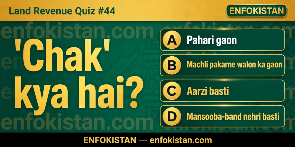
If you work with land records in Punjab, you will run into the word “Chak” again and again — on fards, in khasra girdawari, on revenue maps, and even in village addresses. “Chak 10/11-L”, “Chak 4-GB” — these names are everywhere in the canal-colony districts like Faisalabad, Sahiwal, Okara, Pakpattan and Vehari. But what exactly is a Chak? Today’s Land Revenue Quiz #44 puts this very common — and commonly misunderstood — term to the test.
Aaj ka Sawal
‘Chak’ kya hai?
- Pahari gaon
- Machli pakarne walon ka gaon
- Aarzi basti
- Mansooba-band nehri basti
Durust Jawab: D — Mansooba-band nehri basti
The correct answer is D. A Chak is a planned canal-colony village — a settlement that was deliberately designed and laid out on a map before it was inhabited. This makes it completely different from an ordinary village that grew organically over generations. The Chak system is a product of the great canal colonies of Punjab, built by the British between roughly 1885 and the 1940s. Vast tracts of barani (unirrigated) wasteland — the Bar of Rachna, Bari and other doabs — were brought under canal irrigation, and the government carved the newly commanded area into neat, numbered villages: the Chaks.
Each Chak was allotted under the Punjab Colonization of Government Lands Act, 1912 to colonists called abadkars, who were given land on conditions of residence and cultivation. The Chak number tells a story: “Chak 10/11-L” means serial number 10 on distributary/minor number 11, on the left bank of the canal (L = left, R = right). This is why Chaks in the same area have a tidy, almost mathematical sequence of names — a signature of a planned settlement, not a natural one.
Common mistakes are worth noting. Option C (“aarzi basti”) traps people because the colonies did have temporary labour camps at first — but the Chak itself was permanent and meticulously planned. Options A and B are simply unrelated: a Chak has nothing to do with hills or fishing. Remember this distinction: a gaon grows by itself, a chak is drawn on paper first and settled afterwards.
Background: Chak aaj ke land revenue kaam mein
In today’s revenue records, every Chak is a full mouza in its own right — it has its own hadbast number, its own lal kitab (village notebook), and its own khasra girdawari and jamabandi entries. When you read a fard-e-malkiat from Chak 45/12-L, the Chak name and number are the identity of the mouza itself, and the patwari maintains the same registers for it as for any other village: misal haqiyat, khasra girdawari, register haqdaran zameen.
Practical examples make this real. A buyer checking a registry from a canal-colony district must match the Chak number and the canal distributary code on the fard against the revenue record — a wrong number points to a different Chak altogether. And in inheritance (wirasat) cases in Chaks, the same intiqal process applies, but boundary disputes often turn on the Chak’s planned layout: because streets, school sites and khals were drawn on the original colony plan, old planning documents can decide where one Chak’s land ends and the next begins. If your family land lies in a Chak, learn its number, its distributary and its hadbast number — those three together are its complete revenue identity.
Video dekhen
Is quiz ka YouTube Short dekhein: https://www.youtube.com/playlist?list=PLIHI8XcYyiZo
#LandRevenueQuiz #Patwari #Enfokistan
🔗 Enfokistan — har jagah follow karein:
▶️ YouTube: https://www.youtube.com/@EnfokistanPK
💬 WhatsApp Channel: https://whatsapp.com/channel/0029Vabi9wYAO7RBCrtXEh40
📌 Pinterest: https://www.pinterest.com/enfokistan
🌐 Website: https://enfokistan.com